A View from the Sky That Sparks Curiosity
Have you ever wondered what a massive dam looks like from above? Or how a calm lake transforms into a powerful force of water when released? If those questions spark your curiosity, then you are in for a treat. Drone photography opens a fresh perspective on iconic landmarks, and Denison Dam is one of those places that truly comes alive when seen from the sky.
From sweeping water views to geometric spillways, this destination offers more than just engineering. It tells a story. And through a drone lens, that story becomes even more captivating.
Where Is Denison Dam Located
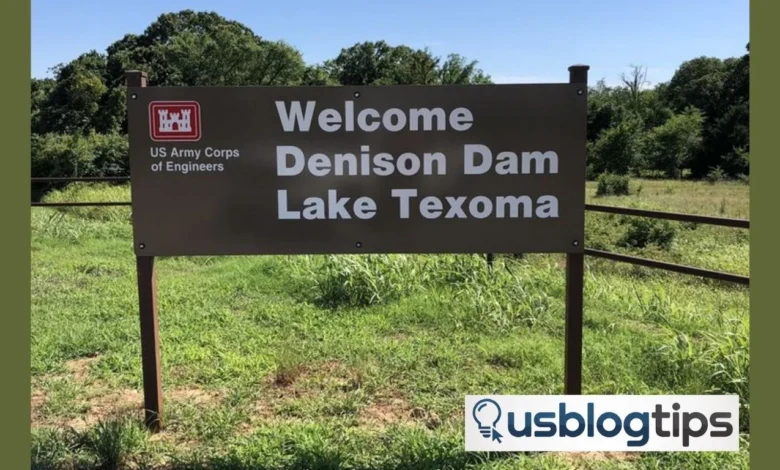
Let’s start with the basics. Where exactly is this impressive structure? Denison Dam sits along the Red River, forming the border between Texas and Oklahoma. It creates the vast Lake Texoma, which is one of the largest reservoirs in the United States.
If you are planning a visit, then simple navigation tools will guide you easily. Many travelers search for “Denison Dam directions” or “Denison Dam location on a map” to find the quickest route. The dam lies near the city of Denison, Texas; hence, the name.
Why Drone Photography Changes Everything
Standing on the ground gives you one view. Flying above gives you a completely different story. Drone photography highlights patterns that you might miss at eye level. The long curve of the dam, the symmetry of the spillway, and the shifting shades of water all become visible.
Moreover, drone shots capture the scale. You begin to understand just how massive the dam really is. The contrast between calm lake waters and the structured concrete adds depth to every frame.
The History Behind the Structure
Every great landmark has a story. Denison Dam was completed in 1944 during World War II. It served a critical purpose by controlling floods and generating hydroelectric power.
So, how old is the Denison Dam? It is over 80 years old and still plays a vital role today. Over time, it has also become a popular spot for recreation and tourism. This blend of function and beauty makes it perfect for aerial photography.
Capturing the Spillway in Action
One of the most exciting moments to capture is the water release. Many people search for “Denison Dam water release today” to witness this powerful event. When the spillway opens, the calm surface turns into rushing water, creating dramatic visuals.
Drone footage during this time can look almost cinematic. The movement of water creates texture while sunlight reflects off the surface. It is a moment that photographers often wait for.
Fishing and Outdoor Life Around the Dam
Did you know the area is also famous for fishing? Anglers from across the region visit Lake Texoma for its rich fish population. “Denison Dam fishing” is a popular search because the waters below the dam are known for striped bass.
From above, you can spot boats scattered across the lake. This adds life to your drone shots. It also shows how people interact with the environment around the dam.
Safety and Awareness While Visiting
While the dam is beautiful, it also demands respect. There have been incidents linked to strong currents and sudden water releases. Searches like “Denison Dam drowning” highlight the importance of safety in this area.
If you plan to visit or fly a drone, then always check local rules. Stay aware of weather conditions and water levels. Safety ensures that your experience remains enjoyable.
Understanding Lake Levels and Capacity
Another common question is about the lake itself. How full is Lake Texoma? The water level changes depending on rainfall and dam operations.
Drone photography helps visualize these changes. During high water levels, the lake stretches far and wide. During lower levels, you may notice exposed land and different textures. Each condition offers a unique visual story.
Comparing Denison Dam to Others
You might ask how this dam compares to others. What is the largest dam in Oklahoma? While Denison Dam is significant, it is not the largest in the state. However, its impact and scale still make it one of the most recognized.
Globally, there are even larger dams, but few offer the same blend of accessibility and scenic beauty. That is why it remains a favorite among photographers and travelers.
Planning Your Visit and Drone Shoot
Planning makes a big difference. Check weather forecasts and water release schedules before heading out. Early mornings and late afternoons provide the best lighting for drone shots.
Also, explore helpful travel resources like Jorbina for ideas and guides. You can also browse USBlogTips to improve your travel blogging skills or discover insights on BuzzNewsDaily for trending travel topics.
Keep your gear ready and your creativity open. Every visit offers a new angle.
Frequently Asked Questions
How old is the Denison Dam?
The dam was completed in 1944, which makes it more than 80 years old.
How full is Lake Texoma?
The water level varies throughout the year depending on rainfall and dam operations.
What is the largest dam in Oklahoma?
Denison Dam is large but not the biggest. Other dams in Oklahoma surpass it in size.
Where is the Denison Dam in Texas?
It is located near Denison, Texas, along the Texas-Oklahoma border on the Red River.
What is the deadliest dam in history?
The Banqiao Dam failure in China is often considered the deadliest due to the massive loss of life.
Final Thoughts
So what makes Denison Dam so special? Is it the engineering or the natural beauty? Perhaps it is both. Drone photography allows you to explore this landmark in a way that feels fresh and exciting.
Next time you plan a trip, ask yourself this. What stories could you capture from above?